
Site-specific irrigation and turfgrass quality using UAS imagery
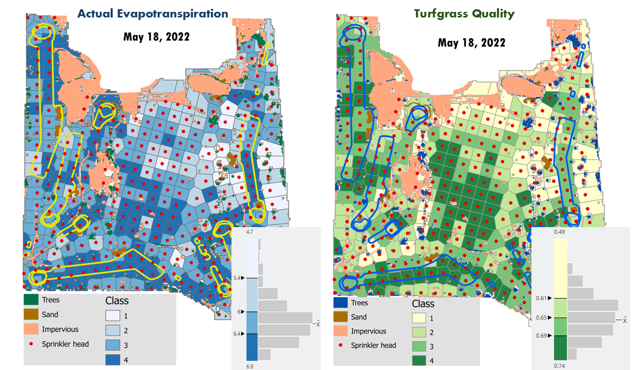
Water scarcity and climate change are pressing concerns for golf course management, requiring site-specific irrigation strategies to maintain turfgrass quality (TQ) while conserving water. Traditional irrigation methods do not account for the spatial variability in reliable estimates of actual evapotranspiration (ETa) and TQ. Therefore, an approach that integrates accurate spatial estimates of ETa and TQ and their relationship is essential for enhancing the best precise irrigation practices, particularly in semi-arid regions.
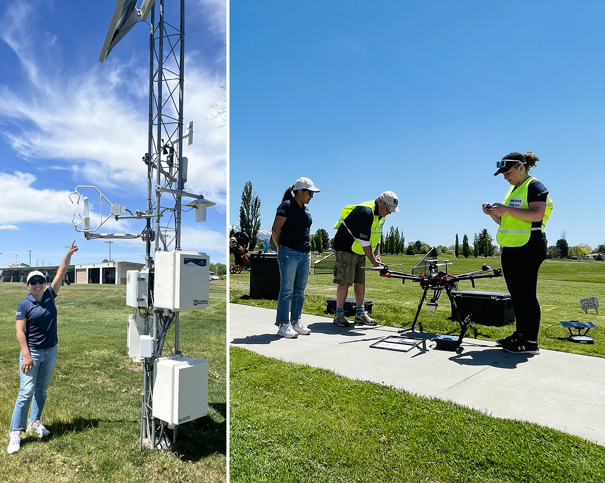
In a new study published in Crop Science, researchers addressed this challenge by integrating aerial mapping with advanced modeling techniques to estimate ETa and TQ at a golf course in Utah. They used multispectral and thermal imagery from unmanned aircraft systems (UAS) in conjunction with the Two-Source Energy Balance model and machine-learning models to estimate high-resolution spatial ETa and TQ, respectively. They validated ETa estimates against gold-standard eddy covariance data commonly used in scientific research and compared random forest TQ model estimates to ground-based and visual TQ assessments.
The findings demonstrate that incorporating spatial TQ and ETa data into site-specific irrigation zones enables more informed water management decisions. This approach may reduce water use, lower costs, and improve irrigation efficiency in golf courses in semi-arid regions. The study underscores the value of UAS-based remote sensing for optimizing turfgrass management in water-limited environments.
Dig deeper
Meza, K., Torres-Rua, A. F., Hipps, L., Kopp, K., Straw, C. M., Kustas, W. P., Christiansen, L., Coopmans, C., & Gowing, I. (2025). Relating spatial turfgrass quality to actual evapotranspiration for precision golf course irrigation. Crop Science, 65, e21446. https://doi.org/10.1002/csc2.21446
Text © . The authors. CC BY-NC-ND 4.0. Except where otherwise noted, images are subject to copyright. Any reuse without express permission from the copyright owner is prohibited.