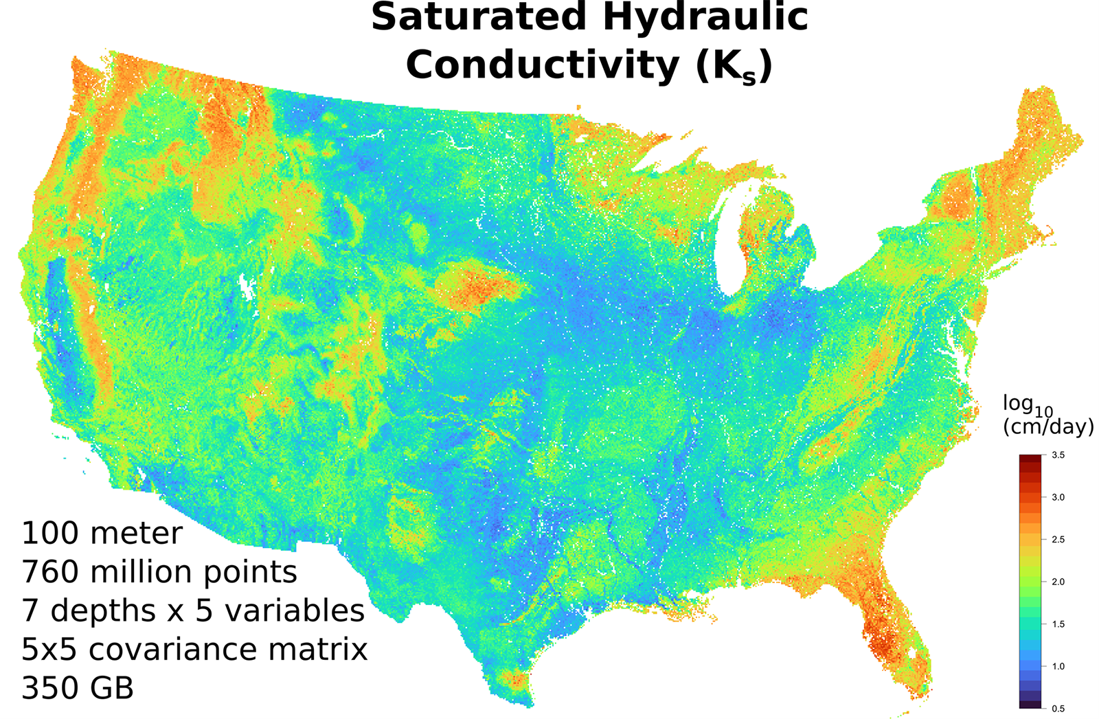
Soil hydraulic property mapping with AI and high-performance computing

The availability of high-resolution soil hydraulic property (soil water retention and hydraulic conductivity) data would greatly benefit practitioners in the fields of crop production, environmental engineering, and climate, drought, and ecosystem service assessments. Unfortunately, it is usually cost prohibitive to use laboratory or field methods to measure such data for more than a few locations, let alone for a country as large as the United States.
Researchers from the University of Arizona and Tianjin University in China combined high-performance computing and artificial intelligence (AI) to estimate soil hydraulic properties from existing gridded soils data sets available through the USDA-NRCS and other sources. The validated data sets describe nearly all locations (over 760 million points) within the contiguous U.S. at a resolution of 100 m and seven layers up to 2.5 m deep.
The gridded “open” GIS-ready data sets contain standard hydraulic parameters as well as their covariance that are immediately useful in common soil water and solute transport models. The maps should also be useful for improving drought and flood assessments. The work is presently being extended for global applications.
Dig deeper
Schaap, M. G., Zhang, Y., & Rasmussen, C. (2024). Soil hydraulic property maps for the contiguous United States at 100-m resolution and seven depths: Code design and preliminary results. Vadose Zone Journal, 23, e20377. https://doi.org/10.1002/vzj2.20377
Text © . The authors. CC BY-NC-ND 4.0. Except where otherwise noted, images are subject to copyright. Any reuse without express permission from the copyright owner is prohibited.


